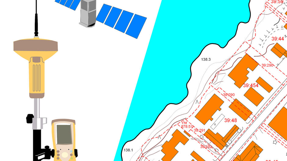
Land Use and Geographic Information
Land use and geographic information services office takes care of land use and survey operations in Sotkamo.
We prepare plans, give guidance and advice on land use, produce geographic information, and do various survey work such as marking building sites.
The coordinate system of Sotkamo’s geographical data is ETRS-GK28 (EPSG:3882) and vertical coordinate reference system is N2000.